Dale Hollow Lake Maps
Shop Dale Hollow Lake--Tennessee
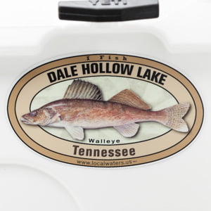 Dale Hollow Lake Walleye sticker Tennessee Decal
 We Love Dale Hollow Lake decal sticker
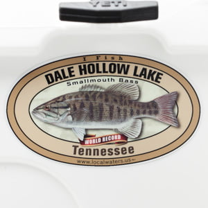 Dale Hollow Lake Smallmouth Bass sticker Tennessee Decal
Dale Hollow Lake Maps
On Google’s Dale Hollow Lake Map use controls to scroll, zoom, topography/terrain, charts, satellite, geography etc
TWRA and Corps Of Engineers Dale Hollow Lake Maps & charts below
*Dale Hollow Lake Maps and charts are available commercially from:
Atlantic Mapping, Inc. PO Box 7391 Marietta, GA. 30065 770-426-5768 http://www.atlanticmapping.com/
*Localwaters provides information on commercial charts availability as a public service. This is not an endorsement nor do we receive compensation from Atlantic Mapping.
For more maps of Dale Hollow Lake see Obey River Maps
Link to: Dale Hollow Lake Primitive_Camping_Guide
Primitive camping map and guide courtesy of the Nashville District of the Corps of Engineers

Map courtesy of TWRA Region 3
Click on links below to see close up map of boat ramp and access area
-
Cedar Hill Marina & Resort boat ramp (1)
-
Compton’s boat ramp 2)
-
Cove Creek boat ramp 3)
-
Dale Hollow Marina boat ramp (4)
-
Eagle Cove Resort boat ramp 5)
-
East Port Dock boat ramp (6)
-
Gunnels Camp boat ramp 7)
-
Holly Creek Dock boat ramp (8)
-
Horse Creek Resort boat ramp 9)
-
Lilydale boat ramp 10)
-
Livingston Marina boat ramp (11)
-
Mitchell Creek Marina boat ramp 12)
-
Obey River Day Use (13)
-
Plank Yard boat ramp 14)
-
Pleasant Grove Day Use boat ramp 15)
-
Star Point Dock boat ramp 16)
-
Sunset Dock boat ramps (17)
-
Sunset Marina & Resort boat ramp (18)
-
Willow Grove Dock & Resort boat ramp 19)
-
Wolf River Bridge boat ramp 20)

Map courtesy of the Nashville District of the Corps of Engineers. High res ((3300 ? 2550) link here: DH COE
Map of proposed Corps of Engineers Safety Zone, Dale Hollow Lake Dam. New as of 12/14/12
Restricted area below Dale Hollow Dam NOT IMPLEMENTED due to well organized public pressure:
link to “Freedom to Fish Act” here
Water restriction tailwater safety zone below and above Dale Hollow Lake Dam
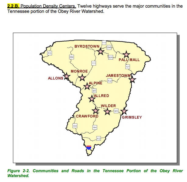
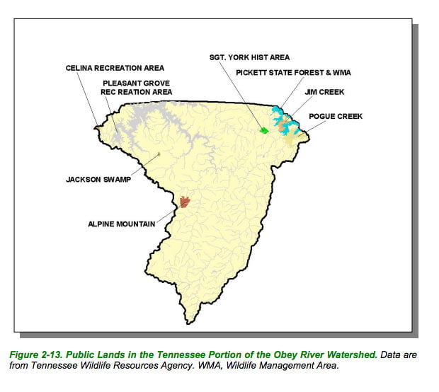
Maps below are of the Obey River watershed of which Dale Hollow Lake is a part.
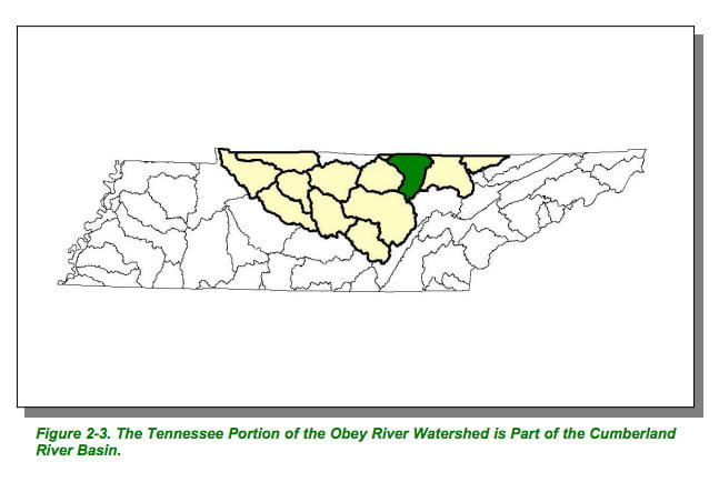
Map Courtesy of TN Department of Environment & Conservation
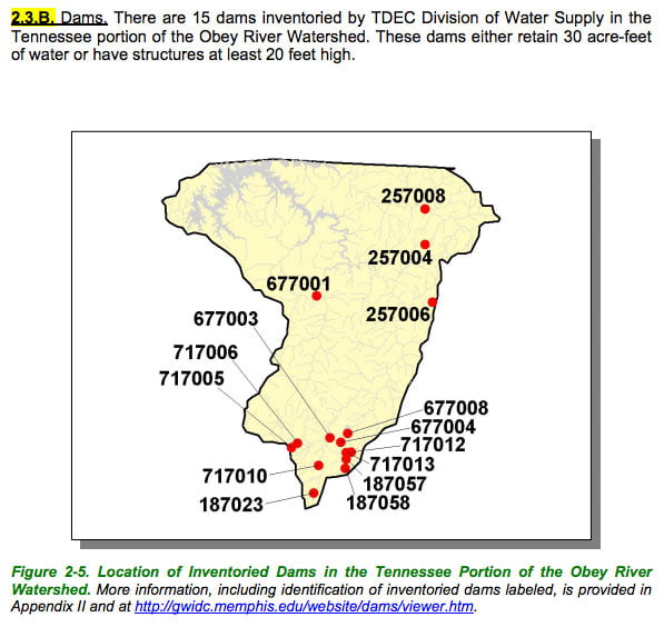
Map Courtesy of TN Department of Environment & Conservation

Map Courtesy of TN Department of Environment & Conservation
Map Courtesy of TN Department of Environment & Conservation
Map Courtesy of TN Department of Environment & Conservation
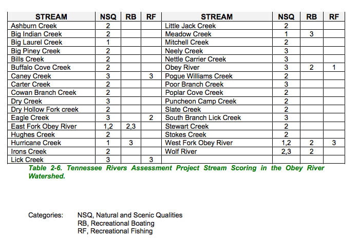
List Courtesy of TN Department of Environment & Conservation