Obey River Maps Boat Ramps
Shop Obey River Tailwater-Tennessee
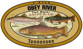 Obey River trout sticker Grand Slam Tennessee decal
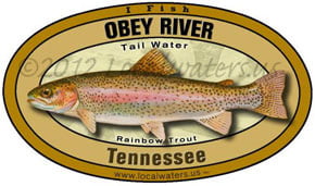 Obey River Rainbow Trout sticker Tennessee decal
Obey River Maps Boat Ramps
On Google’s Obey River Maps use controls to scroll, zoom, topography/terrain, charts, satellite, geography etc
TWRA and Corps Of Engineers Obey River Map charts below
Obey River to it’s confluence with Cumberland River, the Tailwaters of Dale Hollow Lake
The East and West Fork of the Obey River above Dale Hollow Lake

Map Courtesy of TWRA Region 3
Note that the Corps has a boat ramp just below Dale Hollow dam that’s not shown here
Click on the link below for a close up map of Donaldson Park
Donaldson Park Boat Ramp (1)
View Obey River Tailwater in a larger map
Dale Hollow Lake Tailwater Obey River Maps

Map Courtesy of TWRA Region 3
Note that Comptons (2) and East Port Marina (6) ramps are on the upper parts of Obey River both are good sites to launch for walleye run
Click on the link below for a close up map
- Cedar Hill Marina & Resort (1)
- Compton’s (2)
- Cove Creek (3)
- Dale Hollow Marina (4)
- Eagle Cove Resort (5)
- East Port Dock (6)
- Gunnels Camp (7)
- Holly Creek Dock (8)
- Horse Creek Resort (9)
- Lilydale (10)
- Livingston Marina (11)
- Mitchell Creek Marina (12)
- Obey River Day Use (13)
- Plank Yard (14)
- Pleasant Grove Day Use (15)
- Star Point Dock (16)
- Sunset Dock (17)
- Sunset Marina & Resort (18)
- Willow Grove Dock & Resort (19)
- Wolf River Bridge (20)
Link to US Army Corps Of Engineers Nashville District Charts
Sample Corps chart map below, this is down-sized, full size provided at no charge from Corps of Engineers at this chart link
Printed versions available, link leads to electronic versions as well.

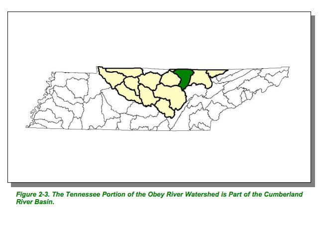
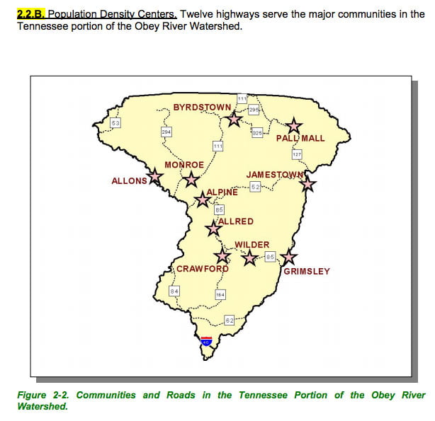
Map Courtesy of TN Department of Environment & Conservation
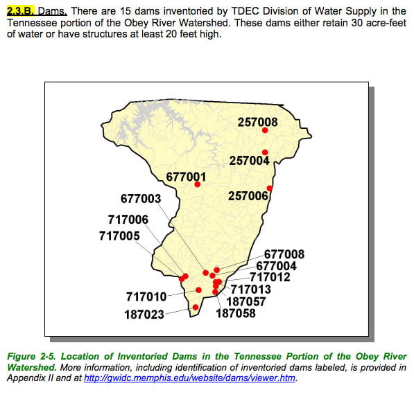
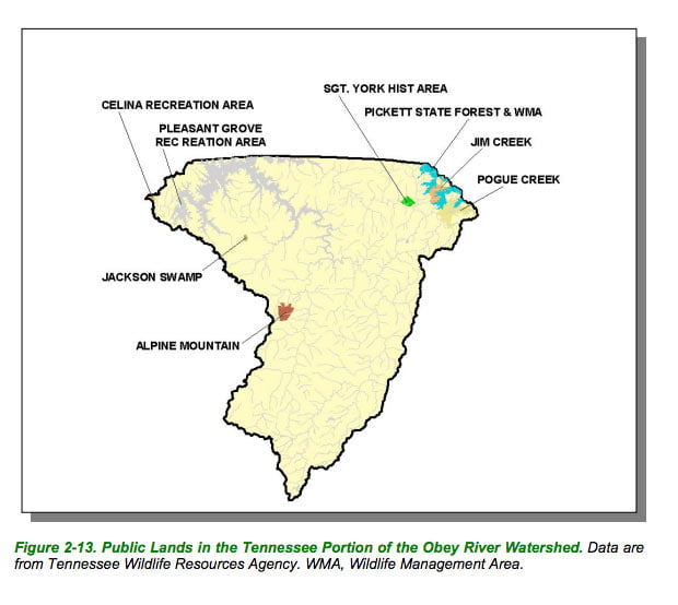
Map Courtesy of TN Department of Environment & Conservation

Map Courtesy of TN Department of Environment & Conservation
Map Courtesy of TN Department of Environment & Conservation
Map Courtesy of TN Department of Environment & Conservation
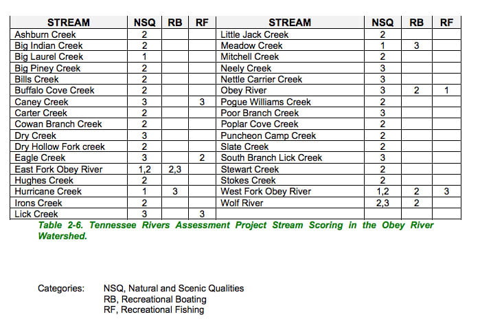
List Courtesy of TN Department of Environment & Conservation