Kentucky Lake Maps
Shop Kentucky Lake--Tennessee--Kentucky
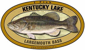 Kentucky Lake Largemouth Bass sticker Decal
$8.98$7.98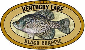 Kentucky Lake Crappie sticker decal
$8.98$7.98 We Love Kentucky Lake sticker decal
$5.98$4.98
Kentucky Lake Maps
On Google’s Kentucky Lake Map use controls to scroll, zoom, topography/terrain, charts, satellite, geography etc
TWRA and Corps Of Engineers Kentucky Lake Maps charts below
* Kentucky Lake Maps and charts are available commercially from:
Atlantic Mapping, Inc. PO Box 7391 Marietta, GA. 30065 770-426-5768 http://www.atlanticmapping.com/
*Localwaters provides information on commercial charts availability as a public service. This is not an endorsement nor do we receive compensation from Atlantic Mapping.
Kentucky Lake Map North Tennessee TWRA Access Sites

Click the links below for close up map of ramps
- Big Eagle (6)
- Boswell Landing (12)
- Buchanan Resort (15)
- Cypress Bay Resort (22)
- Dry Fork (26)
- Eagle Nest Marina (27)
- Ginger Bay (29)
- Gray’s Landing (32)
- Oak Haven Resort (48)
- Otts Road #1 (51)
- Otts Road #2 (52)
- Paris Landing State Park (53)
- Pine Point Resort (57)
- Piney Campground (58)
- Shamrock Resort (65)
- Swan Bay (71)
- Unnamed Boat Ramp #1 (73)
- Unnamed Boat Ramp #2 (74)
Kentucky Lake Map North/Middle Big Sandy Tennessee TWRA Access Sites

Click the links below for close up map of ramps
- Bass Bay Resort (1)
- Big Oak (7)
- Big Sandy (8)
- Bluff Road Ramp (11)
- Britton Ford (13)
- Country Junction (18)
- Crooked Creek (20)
- Danville (23)
- Danville Ferry (24)
- Granny’s Branch Resort (30)
- Gravel Pit (31)
- Harmon Creek Resort (34)
- Harmon Dock Road (35)
- Leatherwood Resort and Marina (36)
- Lick Creek (37)
- Little Crooked Creek (38)
- Mansard Island Resort (40)
- Mason’s Dock (41)
- New Hope (46)
- Old Leatherwood Dock (50)
- Pleasant View Resort (59)
- Springville Pumphouse (66)
- Sulphur Creek (69)
- Swamp Creek (70)

Click the links below for close up map of ramps
Beaverdam Marina (2)
Birdsong Creek (9)
Birdsong Marina (10)
Brodies Landing (14)
Camden Landing (16)
Cherokee (17)
Cuba Landing Marina (21)
Eva (28)
Hallshire (33)
Morgan’s Creek (43)
Nathan Bedford Forest State Park (45)
North Eagle Creek (47)
Pilot Knob (56)
Stirling Road (66)
Woodland Shores (77)
Kentucky Lake Map South, Beech River to Pickwick Lake Dam Tennessee TWRA Access Sites

Click the links below for close up map of ramps
Beech Bend Campground (3)
Beech River – Perryville (4)
Bellis Botel (5)
Cravens (19)
Dickey Landing (25)
Lost Creek Dock (39)
Mermaid Marina (42)
Mt. Carmel Road (44)
Old Clifton Ferry (49)
Perkins Bluff (54)
Perryville Marina (55)
River Heights (60)
Riverstone Marina (61)
Rock Pile (62)
Saltillo (63)
Savannah (64)
Stewman Creek (67)
TVA Ramp (72)
Wayne Jerrold’s City Park (75)
Wilkinson Ferry (76)
Link to website: TWRA Access sites for Kentucky Lake
all access site maps are courtesy TWRA


