Duck River
Shop Duck River--Tennessee
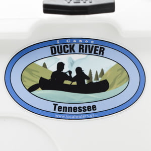 Duck River Canoe sticker Tennessee Decal Paddle
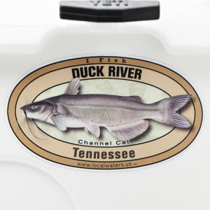 Duck River Channel Catfish sticker Tennessee Decal
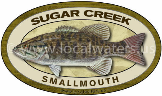 Sugar Creek Smallmouth Bass Sticker Fishing Decal
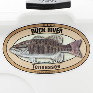 Duck River Smallmouth Bass sticker Tennessee Decal
The Duck River, 284 miles , is the longest river located entirely within the U.S. state of Tennessee. Free flowing for most of its length, the Duck River is home to over 50 species of freshwater mussels and 151 species of fish, making it one of the most biologically diverse rivers in North America.
The Duck River drains a large portion of Middle Tennessee. It rises in a hilly area of Middle Tennessee known as the “Barrens”, an area with enough rainfall to support a woodland but which white settlers found already deforested upon their arrival. (Several theories have been advanced to explain this phenomenon.) It enters the city of Manchester and makes its confluence with a major tributary, the Little Duck River, at Old Stone Fort State Park, named after an ancient Native American structure between the two rivers believed to be nearly 2,000 years old.
Major towns along the Duck include Shelbyville, Columbia, and Centerville. Above Shelbyville, the Duck is impounded by Normandy Dam, a Tennessee Valley Authority project of the early 1970s which was built for flood control and recreation. Normandy was not equipped for power generation as were previous TVA dams built in Middle Tennessee. The structure was named for the hamlet of Normandy, which is nearby. The resultant reservoir occupies over 5,000 acres (2,000 ha) of what was previously prime land for agriculture. Further downstream, Shelbyville is protected from potential Duck River flooding by levees and floodgates. A dam constructed by the Tennessee Electric Power Company across the river adjacent to downtown Shelbyville is a relic of the early electrical development of the area prior to the establishment of the Tennessee Valley Authority.
Blue Hole Falls along the Duck River near Manchester
Downstream in Maury County is the Yanahli Wildlife Preserve, occupying land which was meant to be another TVA reservoir. The Columbia Dam was never completed, however, when an endangered species of mussel was found in this section of the Duck and studies showed the project costs would far exceed benefits. After years of litigation, the dam, which was largely completed, was dismantled at a loss approaching $80,000,000 of public funds. Another old Tennessee Electric Power Company dam, somewhat similar to the one in downtown Shelbyville, is located downstream of the uncompleted dam site. Private funds have been spent on this dam to rehabilitate it to resume electrical power production; however, this has not proven to be successful. The Duck River frequently floods parts of Columbia, particularly the poorer neighborhoods near downtown. Columbia, with a population approaching 40,000, is by far the largest town along the Duck.
Between Columbia and Centerville, the Duck cuts through the Western Highland Rim and is joined by several major tributaries, notably the Piney River. Downtown Centerville is located high above the Duck River bottoms. Below Centerville, the Duck again enters a fairly rural, somewhat remote area. Its largest single tributary, the Buffalo River, reaches its confluence with the Duck in southern Humphreys County, just a few miles from the mouth of the Duck into the Tennessee River. The area of the mouth of the Duck is part of the Tennessee National Wildlife Refuge. The total length of the Duck River is over 240 miles (390 km).
Description above is courtesy of Wikipedia
State Scenic River Section:
LOCATION: Approximately 37 miles of the Duck River in Maury County, beginning at Iron Bridge Road near Columbia and extending upstream continuously to the upper most river crossing of the Maury/Marshall county line.
DESCRIPTION: As the Duck River makes its way some 270 miles on its journey through middle Tennessee to the Tennessee River, it passes though some of the state’s most scenic pastoral lands. From its origin in the western part of the Highland Rim, it flows in a westerly direction across the Nashville Basin and the Western Highland Rim before emptying into the Tennessee River. On its journey across middle Tennessee the river passes by pastures and agricultural lands, as well as numerous tall bluffs and steep rocky cliffs and forested banks. The vegetation along the river can be generally characterized as bottomland and riparian hardwoods, mixed hardwoods, cedar forests, brushy thickets, and limestone cedar glades.
The 37-mile section that is designated as a state scenic river is entirely in Maury County, and passes through the 12,800 acres that TVA transferred to the state of Tennesesee in 2001. The Duck River was designated as a state scenic river because of its scenic, ecological, cultural, and historical values. Designation as a state scenic river enhances the ability to protect these values, and the many species of rare and endangered plants and animals that make their home there.
The Duck Rivers is clearly one of the most biologically rich and diverse rivers in North America. Over 500 species of aquatic plants, fish and invertebrates have been documented in the section of the Duck River that has been designated as a state scenic river alone, including at least 54 mussel and 151 fish species. Indeed, the Duck River contains more species of fish than all of Europe.
A good example of this diversity is the birdwing pearly mussel, which depends on a particular species of fish, the banded darter, to host its young. Therefore, the protection of this fish species is critical to the survival of the birdwing pearly mussel. To protect this and other important mussel populations, the entire Duck River has been designated as a mussel sanctuary by the Tennessee Wildlife Resources Agency. This designation prohibits commercial harvesting of mussels or any disturbance to their habitat. The Duck River has already lost at least 35 species of mussels through the years, mainly due to development, and agricultural, chemical pollution and effluents. There are now just 34 mussel species living in its waters.
For the recreational boater, the Duck River is characterized as a Class 1 River, meaning that there is moving water with a few riffles and small waves with few or no obstructions. These gentle and scenic characteristics contribute to the popularity of the Duck River for canoeing and fishing. Anglers enjoy catching smallmouth bass, spotted bass, rock bass and catfish from boats and from the river’s banks. Several commercial canoe rental businesses and boat launching areas are located nearby.
PUBLIC ACCESS: Public access to the Duck River is limited at this time, though there are several “traditional use” unimproved access points at some bridge crossings such as: Carpenters Bridge, New Leftwich Bridge, Howard Bridge, and Iron Bridge Road. Developed access points will be provided in the future.
State Scenic River Section Description courtesy of Department of Environment & Conservation
Please consider showing your appreciation of The Duck River by picking up some litter during your next visit, many hands make light work.