Watauga River Maps Boat Ramps Access Points
Shop Watauga River--Tennessee
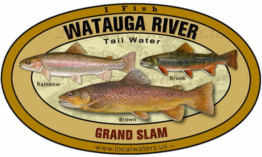 Watauga River Sticker Grand slam Trout decal
$8.98$7.98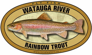 Watauga River Fly Fishing Sticker Rainbow Trout
$8.98$7.98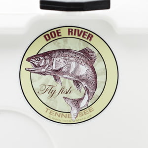 Doe River Fly Fishing Sticker Tennessee Decal
$8.98$7.98 Watauga River Fly Fishing Sticker Tennessee Decal
$8.98$7.98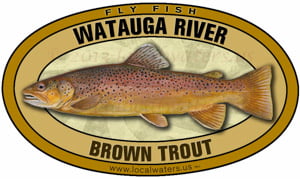 Watauga River Fly Fishing Sticker Brown Trout
$8.98$7.98 Watauga River Brown Trout decal sticker
$8.98$7.98
Watauga River Maps
On Google’s Watauga River Map use controls to scroll, zoom, topography/terrain, charts, satellite, geography etc
TWRA boat ramps and Corps Of Engineers Watauga River Maps charts below

Boat ramps and access areas Watauga River
Blevins Bend (1)
Cherokee City Park (2)
Hunter Bridge (3)
Sycamore Shoals (4)
USA Aggregate (5)
Watauga Dam (6)
Wilbur Dam Canoe Access (7)
Courtesy of TWRA Region 4

Watauga River map of towns and highways within the watershed
Courtesy of TN Department of Environment & Conservation

Watauga River map of state designated natural areas
Courtesy of TN Department of Environment & Conservation

Watauga River map of hydrology within the watershed
Courtesy of TN Department of Environment & Conservation

Watauga River map of ecoregions within the watershed
Courtesy of TN Department of Environment & Conservation

Watauga River map of dams within the watershed
Courtesy of TN Department of Environment & Conservation

Watauga River Map of counties within the watershed
Courtesy of TN Department of Environment & Conservation